Eungella National Park
Eungella Mountains National Park (pronounced YUNG-gel-ə) is in Queensland, west of Mackay.
Understand
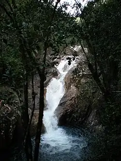
The name Eungella means 'Land of the clouds'. It is considered to be the longest continual stretch of sub-tropical rainforest in Australia.
History
The original inhabitants of the region are the Wirri people.
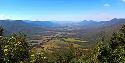
Landscape
Flora and fauna
Climate
Get in
The park is accessible by road via State Route 70 and State Route 64 from Mackay. No buses, tours, trains nor planes.
Fees and permits
Get around
Most places can only be reached by walking.
See
Do
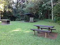
- Try to spot platypuses and turtles from the platform at Broken River picnic area.
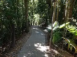
- Walking: there are more than 20 km of bushwalking tracks, some with scenic lookouts.
Buy
- The Broken River picnic area has facilities for day visitors.
Eat
No cafes, restaurants or anything. Bring your own food.
Drink
Sleep
Lodging
No lodging at Eungella National Park
Camping
Camping is permitted at 🌍 Fern Flat campground, which is accessible by walking only.